
This was our first multi-day RV boondocking experience, and the first trip in the new Jayco trailer. The solar project on our trailer was not completed in time for the trip so we had to rely on daily runs of the generator to recharge the batteries. It was probably just as well we didn't try solar, since it was pretty cloudy most of the time. We didn't even bother to bring the telescopes, knowing what the forecast was.
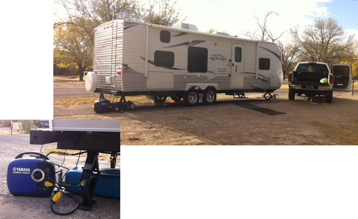
We were able to connect the tri-fuel Yamaha EF-2000isH generator directly to the BBQ propane line at the back of the trailer using a quick-connect fitting. The presence of this line was one of our unknowns leading up to the trip, since we couldn't find anything in the Jayco literature confirming that it was standard equipment, and we hadn't ordered the outside BBQ option. We got the trailer only three days before we headed to the park, but we knew we could fall back on gasoline for the generator if necessary.
Here, we are approaching the Tinaja Carlota, a water catchment basin along the Old Ore Road, one of several day-long trips. The water level is very low, due to the continuing drought we're experiencing in Texas.

Big Bend is a very beautiful corner of the Chihuahua Desert with varied terrain and subtle colors. Here is part of the Rio Grande near the abandoned Johnson's Ranch.

Crossing the Rio Grande is forbidden, although it's very shallow here. The park has many warnings about crossing over to Mexico, although we saw signs that some Mexicans and their livestock were crossing into the U.S.
This is Pulliam Bluff which forms part of the northern edge of the Basin in the Chisos Mountains which lie at the center of the park.

This is another water catchment called Ernst Tinaja, also accessed along the Old Ore Road. Fantastic uplifted and folded layers of sedimentary rock.

Again, a very low water level. There were reports that various animals have fallen into this pool and drowned trying to get to the water. Here is another, more extreme, example of the rock layers in Ernst Tinaja

We saw signs of what might have been a mountain lion kill nearby including the large scat below, but very few animals overall in this portion of the park. Edward did see a javelina in the campground after dark, plus lots of deer sign, and we spotted a few hawks and other birds while driving including a pair of what we believed to be peregrine falcons.


The Sierra del Carmen, which is in Mexico, across the river from the campground, glows red at sunset giving the range its name.


The park is a beautiful place, and we'd like to go back sometime when the weather is better to do some astronomy under their dark skies.
No comments:
Post a Comment
Relevant comments and questions are welcome but submissions with spam-links will not be published.